Map of the glebe land at Steventon Hants 1821
Object name: Hand coloured plan map of the glebe land at Steventon Hants 1821
Object number: CHWJA:JAH187
Category: Object
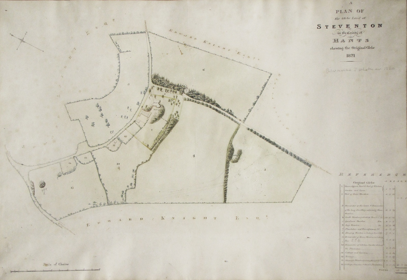
Description: Hand coloured plan map of the glebe land at Steventon Hants 1821, on Whatman paper, showing land owned by Edward Knight.
Made: 1821
Context: Jane Austen was born and spent the first 25 years of her life at Steventon Rectory. When William Knight, the fourth son of Jane’s brother Edward, became Rector of Steventon in 1823, Edward built his son an impressive new Rectory on the opposite hillside and had the old Rectory demolished.
Glebe land was land assigned to the incumbent priest and could be farmed by him or sublet to enhance his primary income from tithes. Probably in preparation for his son taking over the living, Edward commissioned the civil engineer and surveyor, John Armstrong, to draw up this glebe map in 1821. It clearly shows the old Rectory positioned in the corner of Home Meadow close to the junction of the High Road (today known as Steventon Road) from Deane to North Waltham, and Church Lane which leads up to the 13th century church of St Nicholas where William would follow in the footsteps of his grandfather George Austen and uncles James and Henry in becoming Rector.
Other objects you might like: